"A door to paradise” Digital tourist gymkhana for the Rosaleda del Mijares hotel
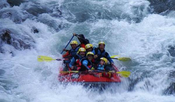
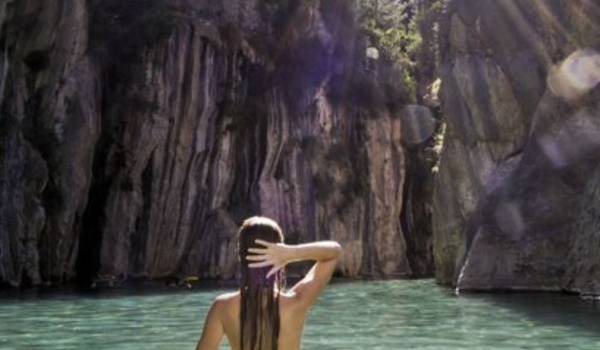
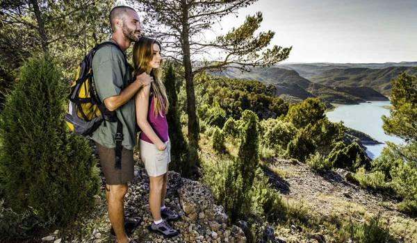
Montanejos is the ideal place for practicing sports, health care and well-being. It is full of paths and rivers to travel, ravines and caves to explore and, of course, a spa to enjoy! But of all the possibilities it offers, there is a door that transports those who cross it to paradise itself...
You arrive in Montanejos ready to live each of the experiences that this place puts at your disposal. But in the reception of the hotel where you are staying, you overhear some guests talking about the virtues that await behind this mysterious door. You ask them where it is and they answer you with a smile, inviting you to discover it for yourself... An unexpected adventure? You gladly accept the challenge!
Game rules:
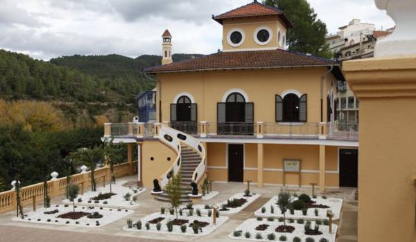
• To start the gymkhana, stand in front of Villa Purificación. You will find it leaving the Hotel Rosaleda del Mijares and taking the street on the left.
• If you can't solve a puzzle, don't worry, you have clues at your disposal that will help you. Press the light bulb icon to access them.
• You also have a map so you don't get lost in case you get lost.
You arrive in Montanejos ready to live each of the experiences that this place puts at your disposal. But in the reception of the hotel where you are staying, you overhear some guests talking about the virtues that await behind this mysterious door. You ask them where it is and they answer you with a smile, inviting you to discover it for yourself... An unexpected adventure? You gladly accept the challenge!
Game rules:
• To start the gymkhana, stand in front of Villa Purificación. You will find it leaving the Hotel Rosaleda del Mijares and taking the street on the left.
• If you can't solve a puzzle, don't worry, you have clues at your disposal that will help you. Press the light bulb icon to access them.
• You also have a map so you don't get lost in case you get lost.